Wednesday 26 February 2014

Geo: The Big 5 – Travel and Location

OK obviously travel is not one of the Big 5 issues in GI today but it is an interesting issue when planning events about GI. Location is the core of what our industry does however finding the right location to hold a conference is the core of a very severe headache for the AGI team.

The whole point of the Geo Big 5 events series is that it is a series of national (UK) events that just happen to be spread around the nations and regions of the UK rather than a series of local events like last year’s showcase. The UK is incredibly compartmentalized for a small country (Americans find the idea of people refusing to travel from London to York or similar hilarious) and we want to get people together from different areas of GI both in terms of location and expertise. This is why the Big 5 themes were chosen as they are issues that affect people working in all different sub sectors of GI all across the UK.
It's really not that big...


We believe having these joined up conversations with a wide audience is very important as the nature of the UK means that different areas have similar but different challenges and opportunities. The policy environment in Wales is different to that in Scotland for example driving different ideas and innovations. However the market is still similar enough that organisations can learn from each other and how different solutions are matching different problems. We want to see people from Glasgow at a Bristol event and people from Bristol at a Glasgow event.

There is no reason that for example that an Open Geospatial event held in Belfast is less relevant to people in London than one held in London would be. In fact it should represent an opportunity to get out and see different approaches being taken and different examples of innovation (both Northern Ireland and the Republic are very Open friendly environments). The barrier of course is travel, or at least the perception of travel difficulty, especially as soon as a plane is involved.

However the reality is that most major cities in the UK are pretty easy to get to by plane or train and with a bit of forward planning it doesn’t have to be horribly expensive. To stay with the example above travelling from London to Belfast doesn’t really take any longer than travelling from London to somewhere on the south coast (assuming you fly of course, driving might take a while!)

Anyway the point of this (yes there is one) is that we need to be a bit more American in our attitude to distance (what it’s only 200 miles away?). We live in a small country that has pretty decent transport (unless you live on the wrong side of Dawlish in which case pretend I didn’t say that for a few months) and we run the risk of missing out on great things because of a reluctance to travel.


So get booking your tickets to Glasgow (Future Cities) and Belfast (Open Geospatial), we’ve got two great events with loads of exciting content and even with travel costs £49+VAT for a ticket is still incredibly cheap in the grand scheme of conferences!

If you work for an organisation with a travel ban then please ignore the above or sneak out whilst your boss is not looking.

Tuesday 18 February 2014

GeoInsurance ’14 Review

Last week saw the first ever geoinsurance event. Geoinsurance is one of a series of conferences/exhibitions being run by a company called Corinium. They are taking a different approach to the AGI and running vertical specific (insurance/utilities etc) events as opposed to themed events of the Big 5. Anyway with several council members speaking at the various events it made sense for us to run a media partnership and so I went along.
I am no expert in insurance but fortunately some fellow AGI members from the newly formed Insurance and Risk SIG also came along and I’ve picked their brains for the review.

The event consisted of one stream spread over two days taking a broad view of the role geographic information and location plays in insurance. There was an interesting variety of views from very high level strategy from the likes of Esri UK and Willis Group to much more operational detail. Munich Re opened the conference with an interesting presentation on the four phases of integrating business intelligence and geographic information.
AGI Stand at the Start of the Day

Unsurprisingly mapping flood risk and exposure was a recurring theme for the conference however there was much more variety than I would have expected and some of the presentations on fire and terrorism risk were very interesting. Apparently 46% of all UK claims in Q1 of 2013 were fire related, the stand out fact of Mapflow’s presentation on fire risk and insurer over exposure.

Day one also saw a slight conflict of views with James Brayshaw of Pitney Bowes arguing that it’s not about maps it’s about data. Ordnance Survey and David Henderson contended that data by itself has no context or meaning and it is the addition of the spatial element that gives data its value. The great soundbite of ‘bad data is like a virus’ came out of the Pitney Bowes presentation and this is certainly something that is relevant whether the data is spatial or not.

Day two started with a more strategic look at the industry and the role of spatial including a presentation by the Willis Group on making spatial accessible to the whole organisation. This raised the point that however good the data and the tools are if the outputs don’t get to the right people then the value of geographic information, or any other form of business intelligence for that matter is lost.

Following on from points about the quality of data SCOR presented about the need to benchmark catastrophe models by looking at how real event performed compared to the predictions. Making assumptions based on models that haven’t been benchmarked is like using a dataset that you know nothing about on a map.

Overall Geoinsurance was a good event providing an interesting mix of strategy and tactics, high level views on the role of geographic information and specific case studies of its use. It was encouraging to see an industry embracing geographic information like this and some high level people championing its value. It seems the insurance industry already views geographic information as part of or equivalent to business intelligence.

It was also good to see the brand new AGI Insurance and Risk SIG being well received by the delegates, watch this space for some upcoming evening events.


Thursday’s blog will have long awaited details about this year’s AGI conference, GeoCom ‘The Changing Face of Geo.’

Tuesday 11 February 2014

Review of AGI Tech SIG and OGC event

Chris Ewing from the AGI Tech SIG (and Council) has kindly agreed to write up a brief blog entry on the event they held last week:

Learning more about the OGC and the UKIAP On Monday I helped organise an AGI Technical SIG event from the OGC on the UK Interoperability Assessment Plugfest (or UKIAP for short – not to be confused with the political party UKIP of course!). Bart De Lathouwer from OGC, Peter Cotroneo from OS, and Paul Lacey from DSTL all presented and gave a great overview of the OGC, and thedifferent programmes they operate, as well as discussing theUKIAP and what it means for the wider geospatial community. The programmes cover standards, compliance, outreach and the interoperability programme.
UKIAP covers mostly all the separate programmes with its work.

The UKIAP is all about trying to ensure software suppliers are consuming OGC standards as expected, and is really important for business and government for the sharing of geospatial information.
Embedded image permalinkImagine a company which has 5 departments all using slightly different GIS and CAD software but they want to share information – this is where OGC standards can help! Phase 1 of UKIAP was a closed door affair (what happens in Las Vegas (or Blackpool was used in this case!) stays in Las Vegas (or Blackpool!), with each of the 11 suppliers testing their software against 5 OGC standards (GML, WMS, WMTS, WMS-C, and WFS). A series of tests were performed to basically determine if the standard worked as expected in different geospatial software. The next stage is Phase 2 of the UKIAP on the 3rd March. The results from Phase 2 will be published and so everyone can see how the different software performed against the standards. What happens in “Blackpool” will be revealed!

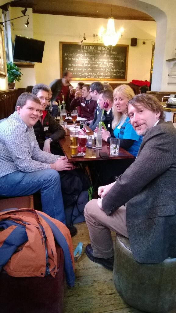
There were plenty of questions from the audience about the OGC too, and Bart talked about how standards can prevent vendor lock in, and bring consensus to the geospatial community. Everyone agreed it was an interesting event and we hope we can put on more of these events. We followed the event by the ever popular geodrinks at a local hostelry. 

Thursday 6 February 2014

Call for Papers and Geo: The Big 5

The call for papers for Geo: The Big 5 is now open and we have already received a number of abstracts. However it has emerged that there is some confusion over what can be submitted and where and just as importantly who selects it. The idea of the submissions page on the website was to keep things as simple as possible as it has been suggested that the somewhat convoluted admissions process has put people off in the past.

The first point to note is that we are running the call for all events at the same time so if you have a paper that you would like to present at the Big Data event in September you can send it in now.

Secondly it is very important to reiterate that there are two streams at each of the single day Big 5 events (more at GeoCom) and this is reflected in the call for papers. Each event has a theme (Future Cities, Open Geospatial etc) and we welcome paper submissions under the relevant theme for each event. This will take up one stream at the event designed to cater for a UK wide audience. The selection of papers for this stream will be undertaken by the events Action Working Group (AWG) with advice from relevant SIGs.

The second stream at each conference will consist of case studies and best practice from the wider field of geo that are of interest to the local area (and we’re taking a broad definition of local here). For example for the Future Cities event in Glasgow there will be a second stream of content populated by case studies showcasing the work of Scottish organisation and at the Policy event in Wales there will be case studies form Welsh organisations and so on. The local National/Regional group will be heavily involved in selecting the content for this stream (alongside advising on the main stream). The ultimate goal being to have an event that is significant across the UK GI industry that also provides a forum for the constituent nations and regions of the UK to showcase issues and work that is of interest to the local GI community.

Finally if you have a great paper on Future Cities for example but can’t make the Glasgow conference we will also be carrying the Big 5 themes into the annual conference (along with some others) so you can always submit now to present it there. The GeoCom conference will be wrapping up the themes from the other conferences and the best papers from each of the one day events may well feature.


Basically we don’t want to put people off applying, the Big 5 themes are there to guide the debate through a series of exciting events not to be a barrier. If you have done something exciting and innovative in GI then the AGI want to hear about it and give you the chance to show it off to the wider industry!

Tuesday 4 February 2014

Win a year's support for a geolocation start-up with the Ordnance Survey Developer Challenge 2014

Can you think of a current business to business (B2B) problem or opportunity that could be solved, at least in part, by using the most detailed, accurate and current location data that’s available for Great Britain?


Does the idea of launching your business, without incurring many of the typical overheads involved in starting-up, sound appealing? If so, you may be interested in the Ordnance Survey Developer Challenge 2014, a unique initiative we’ve launched in partnership with TechHub - one of the leading technology co-working communities in Great Britain.

Ordnance Survey is looking for innovative ideas for a B2B, product, service or application that uses Ordnance Survey geographic data at its core. The idea must hold the potential to be profitable or bring cost-saving benefits for businesses.

The National Mapping Authority will work in partnership with TechHub to offer the winner(s) an enticing package that’s been designed to help get their idea off the ground. As part of the prize, you’ll have free access to an extensive range of geographic datasets and services to develop your start-up.

You’ll also be able to tap in to 220 years’ worth of geospatial expertise, with access to ongoing technical guidance and advice from Ordnance Survey, providing you with the support you need to make full use of the datasets to unlock their full potential.

Secondly, you’ll also be rewarded a flex membership at the TechHub of your choice (London, Manchester or Swansea) alongside a fully-tailored mentorship programme. The programme will see TechHub deliver structured sessions around key topics such as: orientation; legal necessities; sales and marketing; pitching – to name just a few.

Entries are now open and will be accepted until midday on 28 February 2014; winners will then be shortlisted and asked to pitch their ideas in front of a panel of judges on 28 March 2014.

Key dates and how to enter

28 February – competition closes midday at 2014. Submit your ideas now!
7 March – shortlist invited to presentation day
28 March – presentation day in London
4 April – winners announced

Simply fill in this form to submit your entry!

Questions? Email us at: developerchallenge@ordnancesurvey.co.uk